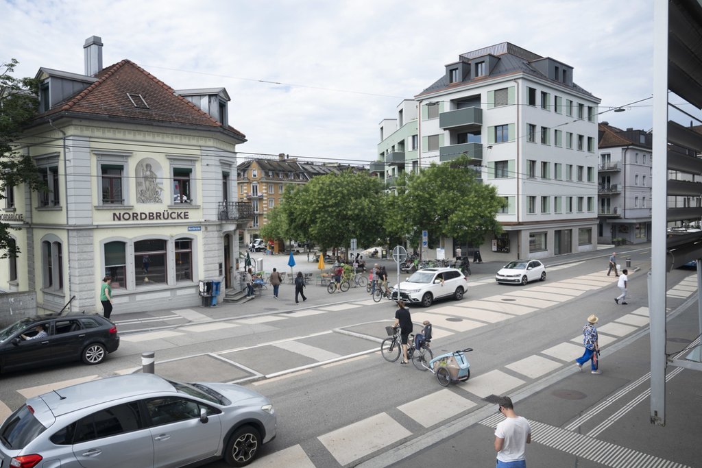
How much space do cars, public transport vehicles, bicycles and pedestrians require? This is an increasingly important question in planning and politics, especially in built-up city areas. Working together with Lajo AG, INFRAS has developed a new methodology for estimating the land consumption of different modes of passenger transportation.

Transport and spatial planners and politicians need information on the space requirements and the spatial efficiency of transport. Put simply, what mode of transport requires what amount of space and how is this space used?
But the challenge until now has been that there was no established methodology to estimate land use, especially in mixed traffic situations. This is where the research project by INFRAS and Lajo AG commissioned by the transport planning and engineering working group at the SVI comes in: the project has developed a method of estimating the land use of road-based passenger transport (including by pedestrians).
Multi-level steps for calculating the space requirement per person
The method developed is based on a differentiated bottom-up approach, combined with the opportunities offered by macroscopic fundamental diagrams (MFD). Numerous parameters and their dependencies (traffic flow, vehicle dimensions, vehicle distances, to name but a few) are accounted for. Furthermore, this method differentiates between stationary and moving traffic. The resulting indicator is the space requirement per person.
Complex interrelations of land use
The interrelations of land use have been shown to be highly complex. In addition to the interrelations between moving and stationary traffic (e.g. a disruption in traffic flow due to someone parking), this particularly concerns the mutual influence between modes of transportation in mixed traffic situations as well as the fundamental question of which spaces are even taken into account (e.g. areas used for specific purposes such as maintenance and services).
Efficiency is dependent on occupancy and capacity
The methodology was tested via use cases featuring various different traffic situations. This allowed the research project to make content-related findings too: firstly, it confirmed underlying trends, such as that public transport and cycling offer a more efficient use of space than private motorised modes of transportation. And secondly, it showed that efficiency is highly dependent on occupancy and capacity: for example, is there a separate cycle lane or is there a shared bus and cycle lane? In the case of the latter, the efficiency of land use increases for both modes of transportation.
Numerous possible applications for a differentiated approach
It is still too early to incorporate this methodology into actual planning practice in a standardised way, as it needs to be developed further. There are, however, numerous fields of application emerging. The methodology is modular and can be applied to a wide range of traffic situations, types of spaces and points in time. In particular, mixed traffic situations can be analysed closer to real time than with the previous approach, which was a highly simplified top-down approach.
More information
- Final report (in German)
- Summary
Other INFRAS projects on the topic (in German)


